Kazee Location Intelligence
Elevate Your Perspective With
Precision Location Data for Informed Choices
Transform the world around you with Location Intelligence, turning geospatial data into a beacon of strategic insight for innovative decision-making across industries.
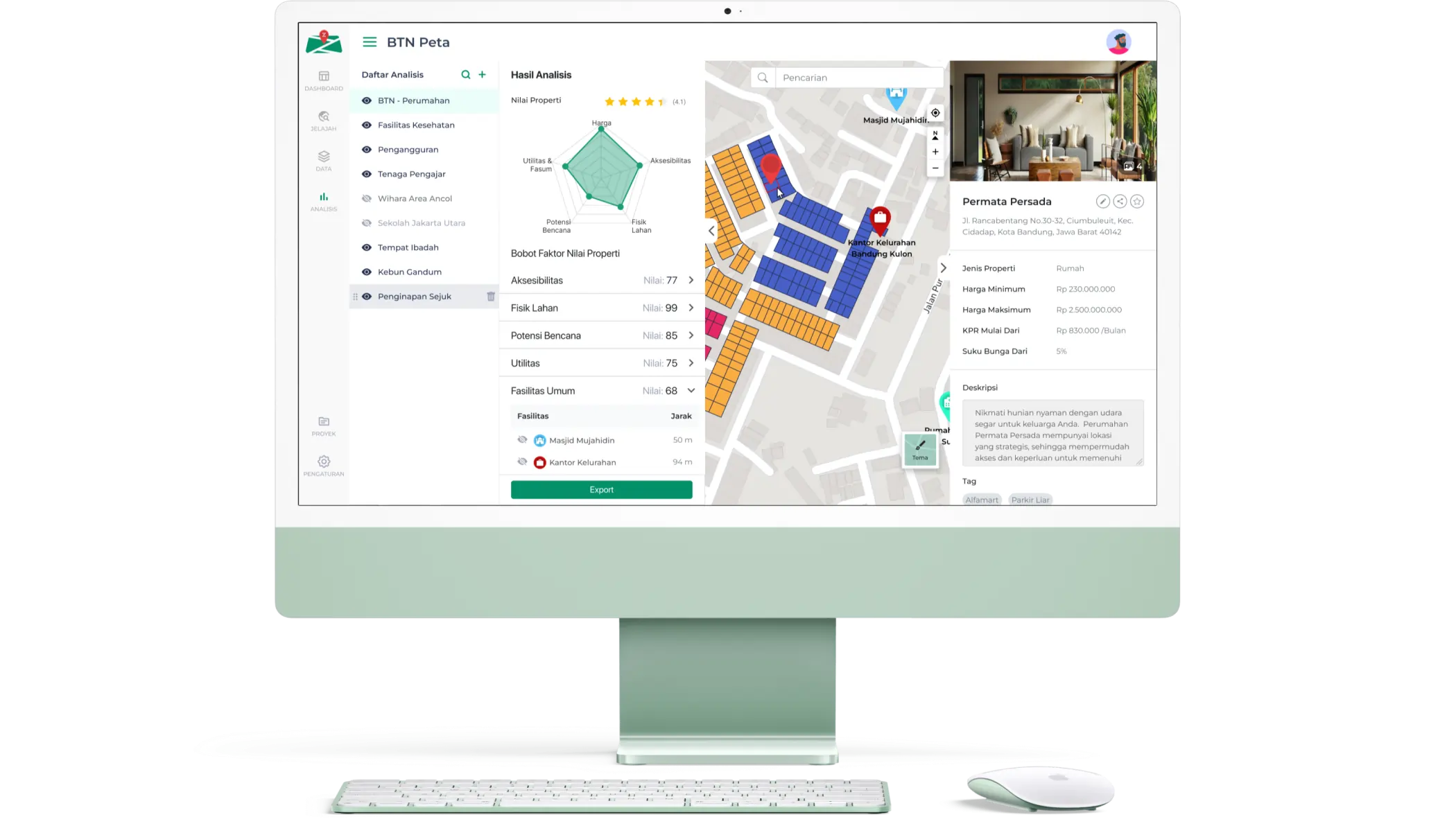

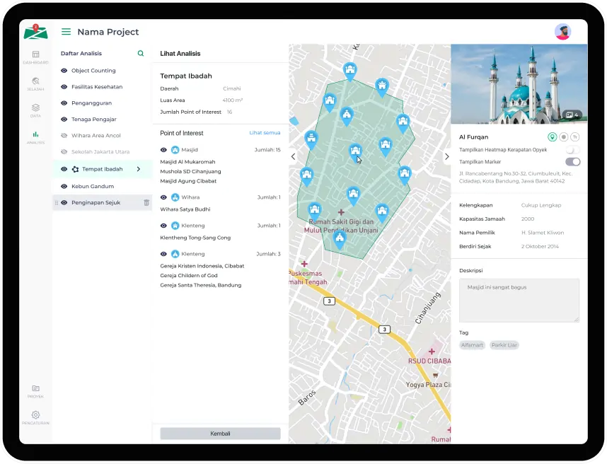
Leverage Location Intelligence to turn geospatial data into actionable insights for logistics, marketing, urban planning, and risk management. Enhance decision-making in business and community with valuable data-driven insights.
How Spatial Insights Drive Business Excellence
There are many things that can be done with location intelligence, here are some examples
-
Urban Planning
Leverage data visualization and spatial planning analysis for city planning with RDTR. Create a better future for your community.
-
Retail Business
Optimize your business operations, marketing efforts, and future planning. Boost your business potential with innovative approach.
-
FMCG
Maximize your business potential by mapping out your unit's unique details and managing daily sales through maps. Visualize your market in a new way to analyze and strategize with precision.
-
Property Business
Optimize your operations, marketing and planning with the right projection and strategies for your property's location. Embrace this innovative approach and see your business grow!
-
Political Need
Gain insights into election results and seat acquisition in each area. Inspire positive change through data visualization.
-
Telecommunication
Gain a deeper understanding of your customers. Expand your network coverage effectively and you'll be one step closer to dominating your market and achieving greatness.
Complete Decision-Making Location
Analytics Tools

AI-Powered
Empower your journey with the magic of Artificial Intelligence and Machine Learning in spatial analysis, turning data into actionable insights that lead the way to a better future.

Big Data
Enhance your project with data-driven support. We offer access to millions of data points from a variety of sources, backed by our expertise in the field.

GIS Features
Explore Location Intelligence with our GIS – validated data and practitioner expertise come together for limitless possibilities at your fingertips.
Why Kazee Location Intelligence
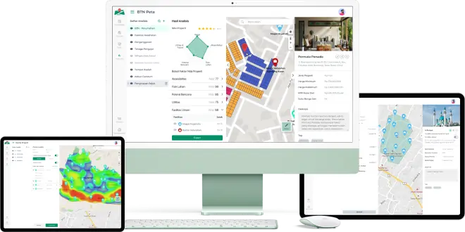
With Kazee Maps Analytics, you can freely mark an area or point and provide information on
that area or point and you can analyze it.
Various Data Analysis
There are several analysis methods, such as object counting and clustering.
Data Visualization
The data that has been created will be immediately visible on maps.
Easy to Use
Easily organize and analyze data.
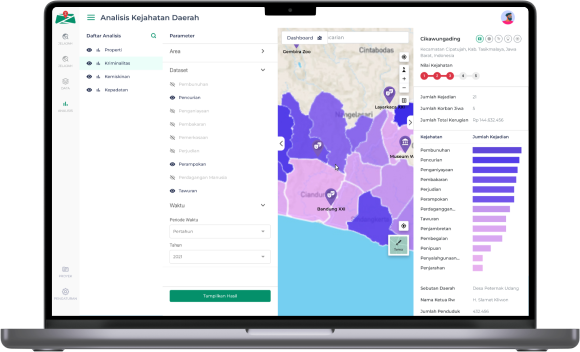
Visualize Your Data With Handy
The area coverage includes Provinces, Cities/Districts, Districts, and Villages.
Map images support Note, Polygon, Point, Area, and Heat Map types.
Supports CSV & Excel files with Location or Latitude and Longitude columns.
Supports data input from External API.
The area coverage includes Provinces, Cities/Districts, Districts, and Villages.
Map images support Note, Polygon, Point, Area, and Heat Map types.
Supports CSV & Excel files with Location or Latitude and Longitude columns.
Supports data input from External API.

 Media Intelligence
 Research Intelligence
 Location Intelligence
 News Analysis
  Solution By Department
 Solution By Industry

 Company


